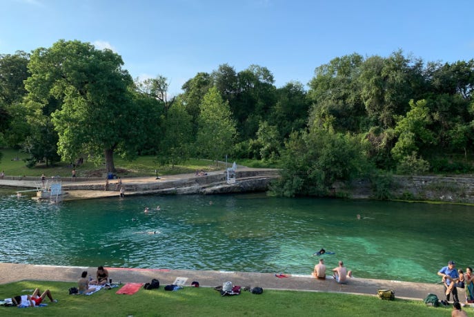
Every summer, my friends and I, like many Austinites, take shelter from the sweltering heat by submerging ourselves in one of the area’s many swimming holes. Sitting in that cool, spring-fed water, underneath leafy cypress trees, it’s hard not to feel your troubles melt away. My friends know that I’m a geologist, and after a beverage or two, they will often turn to me and ask, “Ted, why is this swimming hole here?”
They don’t realize it, but this question hits on much more: the geography of central Texas, the geologic conditions at the time of the dinosaurs, and the movement of water through stone. So, I take a long sip of my beer and begin to tell them how their swimming hole is two hundred million years in the making.
The Texas Hill Country
The Texas Hill Country swings from the west side of San Antonio around through New Braunfels and Austin, up to Killeen, and back to Llano and Junction. Natural springs and swimming holes dot the terrain, but they are especially concentrated, and especially voluminous, right at the front of the Hill Country, in a line closely traced by I-35, the major highway running from San Antonio to Dallas.
This is no coincidence. I-35 connects the population centers, which were themselves once towns started by Spanish missionaries, German settlers, and a variety of others who chose locations with a reliable water source. To the west of this line of springs, you find rugged hills with rocky limestone soils. To the east, it’s rich farmland, prairies, and gentle rolling hills.
Something in the earth is changing along this line of springs. To understand, we’ll have to go back to the supercontinent of Pangea, around the dawn of the dinosaurs.
The breakup of Pangea and tropical Texas
All my readers probably have faint memories of middle school science classes, learning about plate tectonics, seeing how closely together the coastlines of South America and Africa fit. When the supercontinent Pangea was still intact, the Yucatan Peninsula was nestled up against southern Texas and Louisiana. As North America, South America, Africa, and Europe rifted apart, the Yucatan rotated down to its present-day position, leaving behind thin, stretched-out crust in Texas and forming the Gulf of Mexico.
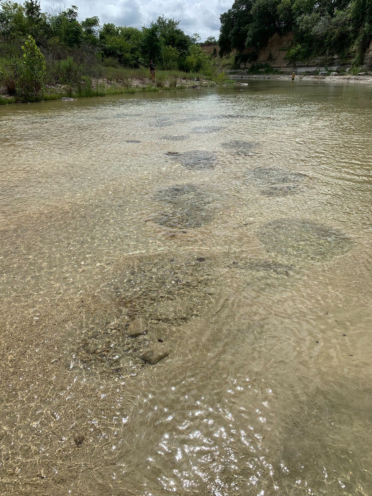
Around this time, North America sat at tropical latitudes, and a warm, clear, shallow sea covered much of Texas, with white sand beaches, volcanoes, and all manner of marine creatures—imagine a Mesozoic Corona commercial. You can even see fossilized dinosaur footprints in various locations, including Dinosaur Valley State Park in Glen Rose for spectacular examples. But I’m getting off track–for our story, the important piece isn’t the footprints, but the rock in which they are found: Cretaceous limestone.
The final piece: faults, uplift, and rainfall
This limestone is mechanically very strong, forming high cliffs. But chemically, it is weak, with acid breaking apart the calcium carbonate from which it is mostly composed. Rainwater becomes very slightly acidic thanks to a chemical reaction with carbon dioxide in the atmosphere. This is enough to slowly dissolve the limestone, and over thousands of years, the slow drip of water can produce great wonders like Carlsbad Caverns.
The limestone of the Texas Hill Country, thanks to this process, is riddled with countless small fissures, voids, and even, yes, some caves. Water flows through this rock, sometimes bubbling up to the surface in locations such as Barton Springs, flowing over 30 million gallons of water a day to fill the famous pool in central Austin.
But the water has to make it to the Hill Country in the first place before it seeps and flows through the limestone. Go to the top of Mt. Bonnell, the highest point in Austin, and look to the west: you will see steep hills. Then look to the east, and you will see a much flatter landscape.
This break, where the Hill Country begins, is known as the Balcones Fault Zone, with the limestone rocks that would become the Hill Country rising on its west side, and the sandstones and shales of the prairie falling on its east.
This fault zone gave us the final key to our springs: the topography at the front of the Hill Country. While only a few hundred feet, this gentle rise is enough to concentrate rain along its front, providing much of the water that feeds the springs that we enjoy so much today.
As I explain this story to my friends, they can see the ancient ocean in the clam fossils around the edge of our swimming hole. They can look up at the strong cliffs, look down at the springs burbling beneath them, and understand how water made the landscape. They can remember their drive that morning, with the flatness of the east side of town giving way to bumpy hills of the west side.
Any geologist educated in the area could tell this slice of earth history, but at that moment, blissfully sitting in the sun-dappled water, I’m the closest one available. And geology is best learned in the field.


I live in Hunt, TX on the North Fork of the Guadalupe and enjoy reading your work--just subscribed.
robbradley58@gmail.com Check out my MasterResource.org too ....
love it, great post Ted